Leave Your Message
In the fast-changing world of geospatial data gathering, Gnss Cors Stations have really turned things around for professionals working with geographic info. You know, GNSS CORS stations—those are the Global Navigation Satellite System Continuously Operating Reference Stations—are pretty much must-haves now because they boost both the accuracy and reliability of spatial data. What’s cool about them is their ability to give real-time positioning and super precise correction signals, which is honestly a game-changer for how surveys are done across different fields.
As more folks push for top-notch geospatial data, it’s totally useful to get a handle on how these GNSS CORS stations work and what they bring to the table. So, in this article, I’ll walk you through some practical tips on how to use these stations effectively and make your data collection smoother. We’ll look at the perks—like better accuracy, cutting costs, and getting more done in less time—and I’ll share some straightforward steps to help you integrate this tech into what you’re already doing.
Whether you’re a seasoned survey tech or just starting out in geospatial work, I hope these pointers will help you unlock the kind of precision you need for smarter decisions in this data-driven era.
Global Navigation Satellite System (GNSS) technology has revolutionized the field of geospatial data collection, enhancing accuracy and efficiency across various applications. GNSS relies on a network of satellites that transmit signals to ground-based receivers, allowing for Precise Positioning and timing information. As GNSS continues to advance, its applications extend beyond simple navigation to encompass comprehensive geospatial analysis in fields such as agriculture, urban planning, and environmental monitoring.
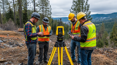
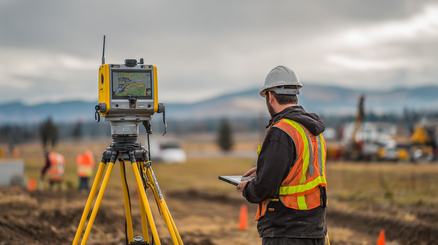
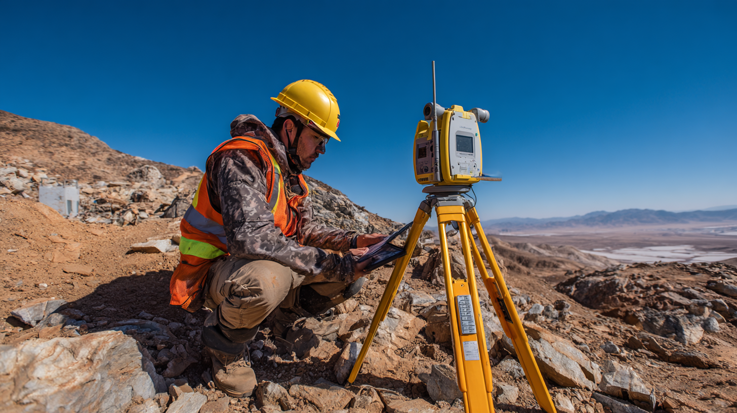
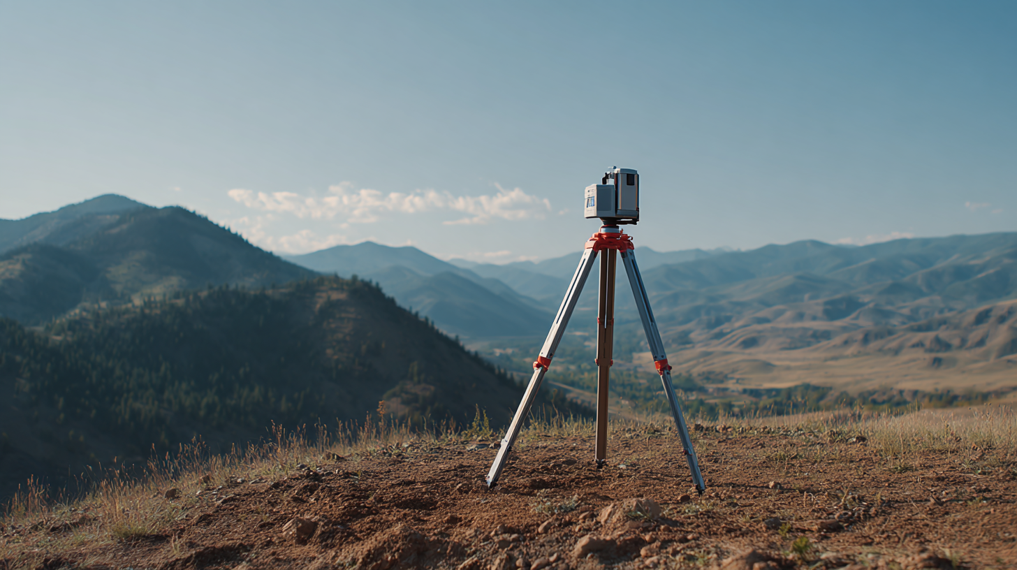
The establishment of Continuously Operating Reference Stations (CORS) has further transformed the landscape of geospatial data collection. CORS stations provide real-time corrections to GNSS data, dramatically improving positional accuracy. By using multiple CORS stations, users can access differential corrections that reduce errors caused by atmospheric conditions and satellite positioning. This synergy between GNSS and CORS enables professionals to collect data with centimeter-level precision, making it invaluable for tasks such as land surveying and construction. As industries increasingly rely on precise geospatial data, understanding GNSS's role becomes crucial for harnessing its full potential.
: GNSS, or Global Navigation Satellite System, is a technology that utilizes a network of satellites to provide precise positioning and timing information to ground-based receivers, significantly enhancing geospatial data collection.
CORS, or Continuously Operating Reference Stations, provide real-time corrections to GNSS data, allowing users to access differential corrections that minimize errors due to atmospheric conditions and satellite positioning.
GNSS technology is used in various fields including agriculture, urban planning, environmental monitoring, land surveying, and construction, where accurate geospatial data is essential.
The GNSS market is projected to grow significantly, with advancements anticipated in precision positioning applications, the integration of AI and machine learning, and enhanced real-time data sharing capabilities.
CORS stations serve as critical infrastructures for technologies such as autonomous vehicles and robotics, providing them with the precise location data needed for navigation.
As industries increasingly rely on accurate geospatial data for their operations, understanding GNSS technology is crucial for leveraging its full potential and improving decision-making processes.
The spatial data analytics market is projected to reach $19.5 billion by 2025, reflecting the growing importance of combining traditional GNSS systems with advanced data analytical techniques.
CORS stations contribute to the monitoring of geological activities, providing timely and accurate location data that is essential for effective disaster management.
GNSS technology allows for more precise agricultural practices through accurate positioning, improving efficiency, yield prediction, and automated farming operations.
Differential GNSS techniques used by CORS stations correct the signals received by users' devices, enhancing the positional accuracy by accounting for various error sources such as atmospheric disturbances and satellite orbit variations.
The article "Unlocking Precision: How GNSS CORS Stations Are Transforming Geospatial Data Collection" explores the critical role of GNSS technology in enhancing geospatial data collection. It delves into the functionality of GNSS CORS Stations, which provide real-time correction data, enabling precise measurements for surveying and mapping. These stations significantly improve the accuracy and efficiency of collecting geospatial data, thus benefiting a wide range of applications.
However, the article also addresses the challenges and limitations faced by GNSS CORS Stations in field applications, such as signal obstructions and environmental factors. Looking ahead, it highlights future trends in GNSS technology and innovations in geospatial data collection, illustrating how companies like Shanghai Apekstool (APEKS) are at the forefront of providing advanced GNSS solutions to meet the evolving needs of the industry.